 Many of you might not be aware that every single trail in Michaux SF is already on a map. There is also a guidebook from a decade ago which has some Michaux trails in it, written by a founding MBM member. You can also add to the above the race maps, old USGS quad sheets, the State Park maps, the Buck Ridge map, Google Earth, software like Topo!, and rider's own GPS tracks.
There's a bigger point to this, which really shouldn't be discussed out in the open here. It could all be very different in 2-3 years. How different depends in some part on how important DCNR, and our local District, view us mountain bikers.
We might need some real meetings. It's clear we have some very strong interests.
As Anonymous pointed out in the comments on the other post.
Do not ride what was known as Community Service from the overflow parking lot. There is no trail there.


8 comments:
Holy crap Larry! Did you have all that stuff lying around home or did you go on some sort of mission today?
Agreed - offline is where this needs to go!
I've been collecting these maps since the first Michaux race I did in 1991.
I picked up a few others at the Michaux office last month.
A hint:
And I'm still not mentioning the real point.
I've been collecting those PATC maps since '91. They are on the 3rd-4th versions of those since then. The old versions contain dashed lines not necessarily on the new versions. Sometimes that works out. USGS? same deal. Sometimes older is better, but not always.
Just saying, and still not really saying....
You are the man
I like meetings. I'll be away until the first of the month
Wow, that thread over at mtbr.com was interesting. I'd be up for a meeting and doing some work to create a "club map" with trails marked. One of my biggest frustrations as a newcomer to the club is not knowing where to go or what I'm getting into when I show up for a ride. I know my skills are low and have met others of similar ability that I could have organized something with if I only had the resources to plan a ride myself.
I read the MTBR thread. It seems the map request was almost an afterthought, rather than the subject of the discussion.
Today we had a wonderful ride over Grave Ridge, arguably the best trail in the forest. A total of five people showed up.
We get more traffic on the board than we do on the actual trails. That is a good thing. I think when we get enough members who ride and participate AND vote for trail mapping or promotion of the forest, then further action may make sense.
I think Camps had provided adequate resources. Chief has provided an avenue for beginners. Our Sunday rides are available to all with intermediate or better skills.
Let's face it--we like to ride. Everything else gets to be an impediment to the primary objective.
Well said Steve.
Great ride today.
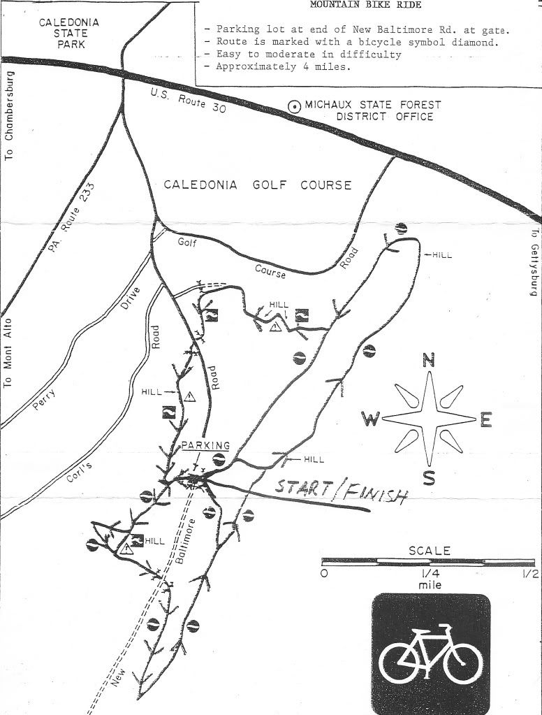
I actually just picked up a bunch of the ATV maps, Flat Rock maps, and others from the State Forest office on RT. 30. They are also available at the Pine Grove State Park Office. The PATC maps are $6 each and can even be bought at Wildware on the East Shore in Harrisburg. Or ordered directly from the PATC website.
I picked them up mainly to have them to give to other people that ask me, "Where can I ride?"
If someone doesn't know the ATV system and the Red-blazed stuff, that's the best place to start because it IS mapped and you can follow something on paper.
Larry's right--there's a wealth of information out there over the years. People just need to look at it.
Post a Comment