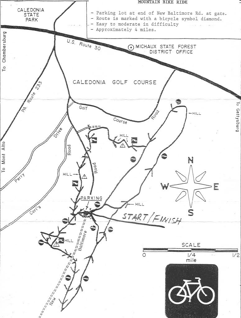
 Our local District office has shared their GIS layer of trails and deer fences with me. They also just sent me the Wirt Road timber sale layer. Shown above is the official trail network in the timber sale area. Trails from their latest official inventory are shown in Blue. GPS trails in Red. Notice that little piece of Blue at Tarburner Spring, aka Red Doghouse. That's that blazed snowmobile trail. The Beige is the current timber sale boundary.
It would be easy to overlay race-approved trails to this map.


24 comments:
So, how long should this map stay posted?? Is this now the time to ask something? Like, expand your Single Tree Selection a little wider to encompass the squiggly red lines known by some as hearthbucketsturtle?
Very cool. How can I help?
Lars,
Not much Blue on that map, at least, not that I'm seeing...is there overlap w/ the GPS lines that's shadowing it? Or is all of that in the proposed harvest not officially recognized?
Any chance you could throw the Common Names on those red lines for reference?
The '06 & '07 Teaberry Loops are still archived over on the Race series site...
BTW, what software are you using for the mapping? Looks better than the cookie cutter stuff that came with my Garmin...
Does anyone want to try to save anything or not? That's really the question. If people don't want to see all of the above erased from the map (and I guarantee there will be a deer fence around the clearcut area after logging), then yes, now is the time to ask.
How long should the map stay posted? Depends on the direction that people want to take. Status Quo? Take it down now. Try to save something? Leave it up.
I'm thinking all the red is not recognized.
The red is not obscuring the blue. There isn't any blue in that area other than Tarburner. Other parts of Meeshow do have more Blue, but many notable race-approved lines are absent that too.
I could put the oommon names on, it will take some time to do it right. I *should* be working on working right now... I use Manifold GIS software.
Leave the map up.
One of the main reasons I've been out of touch this summer was the mapping blow-up back in March. It's encouraging to see that more people are realizing the ramifications of not having mapped trails now.
camps posted a proposed logging map back in February. We've lost 8 months of time that we could have been taking this issue more seriously. Let's not continue that mistake.
Just to be clear, cuz I like to use precise words and sh1t. "Mapped" trails is not the issue. We have plenty of "mapped" trails. What I want is more "red-blazed" official trails. Red has an important meaning.
I agree with Camps. Any trail can be mapped. Mapped means nothing. Recognized, official, blazed trails mean something.
The position now is the same as the beginning of the year. We, as a club, cannot produce trail maps of mapped trails that are not recognized by Forestry as offical trails in their blazed inventory.
as an aside...if advocacy is going to become a larger part of the mission of MBM, has any thought been given to establishing a more viable forum for discussion? Get away from the bloggy free for all comments, create a more organized online presence.
No clue on what it takes to host something like the NMBA or SVBC sites, just curious if any thought's been given to this.
I've thought about it. I really don't like hanging our laundry out like this, not to mention our thoughts on bacon t-shirts.
I don't have the techy geek skills to create us a forum, nor do I feel like learning that, when I have so much else I should be working on here and elsewhere..
I'm all for it though. Maybe I'll add a geek to the wish list?
Food for thought, I made a call to an individual that is retired from forestry. His opinion was we are way too far behind the curve to try to change anything at this point. But if we can show the DCNR what we are lossing they might be receptive to letting us reopen the trails and making them legit multi-use trails. So that means sharing it with horses. I know that nobody wants to even consider getting the horse folks involved but they hate deer fences even more than we do. Horses don't fit through the gates.
He also mentioned that having an elected official behind our cause is going to carry much more clout and pressure than we could ever muster.
I am not the guy to do any of this stuff nor do I want to be involved. I like Michaux the way it is. As much as I like to pick on a certain trail builder, I'd much rather have fun and challenging trails designed and built by "The Tractor" than some non-biking state worker.
Do you think the death chute will qualify as multi-use.
Maybe tap into the MORE crew or the BikeSite to see what it takes?
PMBA has a good site, too.
If that's what we want to do.
Might be an interesting annual meeting.
I see a vote coming.
clowny,
Your 'non-biking state worker' remark demonstrates the lack of knowledge out there. The State won't just go and hire some dude to build trail. Trails happen when the users get involved and push the agenda, and make things happen, taking the burden off 'the man.' We ask if it'd be cool to connect two dots on the map, then we lay it out and walk it out w/ DCNR, we do the legwork, we put in the volunteer hours to make it happen. Eventually we may even have a say in which user groups have access...keeping the horses off of sensitive soil types, keep the motos from tearing shit up w/ the enduro/dual sport...
Regarding this current harvest though, yeah, it is too late to change. The bid is out there, the prescribed areas have been established, those lines on the map won't move, because then it turns into a different proposal regarding which tress are being sold. But opening a dialog now will make it easier to reestablish those paths after the raw TP and toothpicks have been ripped out.
Wow. Sweeper made their map? That is awesome.
What. No HorH? Someone put that where there will be no logging.
Anonymous should read the post more carefully. Your statement is wrong.
Anonymous should leave a name
there's a handy little Blogger setting that doesn't allow for Anonymous comments...
And I'm to the point of thinking it should be turned on.
Tomi nailed it about volunteers. The state will not cut or build the trails, we do. The only way to save something, get stuff legit or built is to advocate for it and do it ourselves. I doubt, however, you will be able to regulate which user groups have access. Equestrians don't do sh1t for the trails down here, yet, they will always have access.
Michaux is very different from MD trails, however, in that we don't have logging. I have to imagine that industry has a powerful lobby and is very much ingrained into area politics. This makes things difficult for us, but, at some point we need to make friends at city hall.
The old boy network is alive and well in Fredrock, however, we have found people sympathetic to our plight. These people are the younger officials that see the trails as a resource for tourist revenue. The old guard can't be around forever and we need to build relationships with city and state officials from our generation. People who ride, hike or simply enjoy the forest. Dollars speak and if the state thinks they can generate more revenue by re-drawing a few logging lines, they might be more receptive to our requests.
Oh, and I'm with Brett and Tomi, turn off the "anonymous comments" feature. It just brings out the trolls.
I'm just learning this process from Frank. But it is really up to the District Manager what happens. You should contact him/her and request a meeting. We have had mixed success in Rothrock. But you know what happens when you don't do anything...Nothing.
I never said the state was going to hire some "dude" to built trail. However some "dude" is going to ok what gets built and what doesn't and it will be multi-use and it will be horse and hiker friendly and every log will get ramped or removed.
Wow, hopefully nobody read my last comment. I just finished my second Winter Storm,...my limit, and started babbling. What I was trying to say is,
We have a lot of combined skills,
We all enjoy being in the woods for any reason,
We can do more than just pick up trash for forestry, although that is very much needed.
What can we do for them??
I really wouldn't worry about people finding trails. If they ride their bike or hike along the roads they'll find something eventually with no map at all.
Regarding the trails being recognized, official recognition may also enable regulation and standards. Even though we might volunteer our labor for upkeep we might also be asked to sanitize. In addition, drawing attention to less than legal use may get us nothing but pain.
Enjoy what we have while we have it. Build your trails how you want to. When they're gone let nature reclaim them and it will all start over in the future with the next gen of mtb'r. If these trails remain for eternity some joker will eventually clear them anyway. We have it very good right now. Let's not allow a setback to turn into a show stopper.
Post a Comment